|
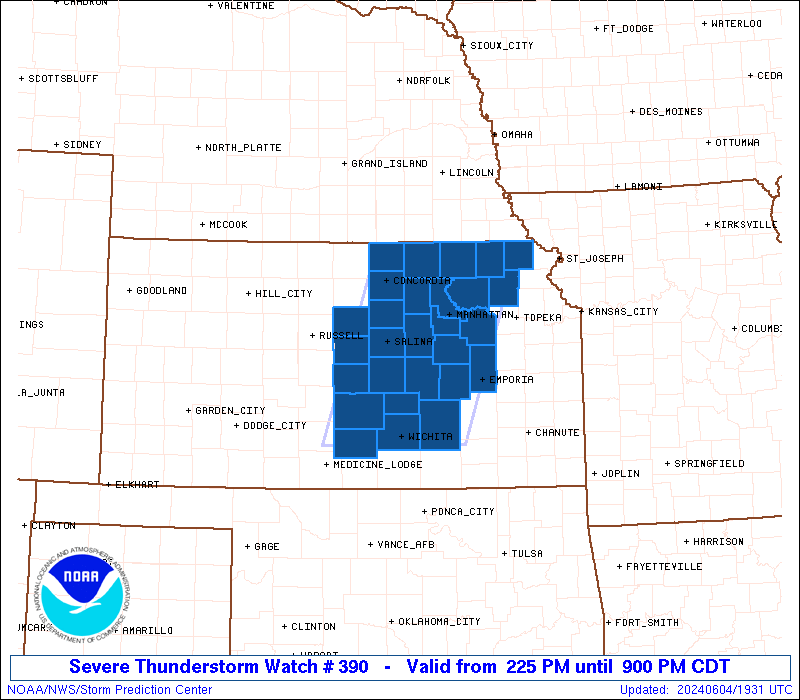
Initial List of Counties in SPC Severe Thunderstorm Watch 390 (WOU)
|
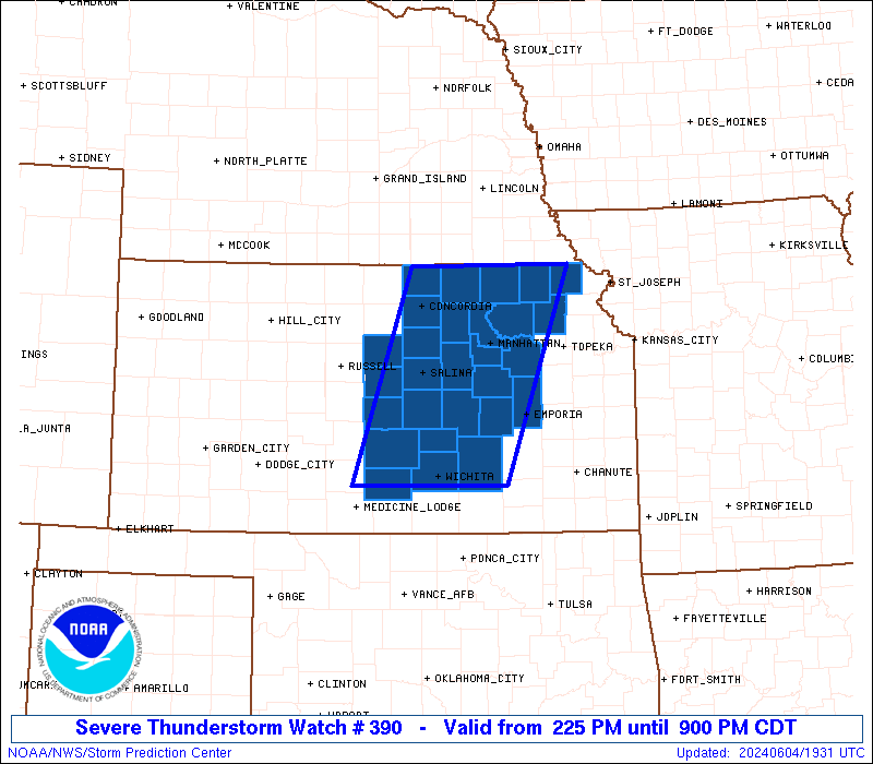
Back to Watch 390
|
 |
   WOUS64 KWNS 041923
   WOU0

   BULLETIN - IMMEDIATE BROADCAST REQUESTED
   SEVERE THUNDERSTORM WATCH OUTLINE UPDATE FOR WS 390
   NWS STORM PREDICTION CENTER NORMAN OK
   225 PM CDT TUE JUN 4 2024

   SEVERE THUNDERSTORM WATCH 390 IS IN EFFECT UNTIL 900 PM CDT
   FOR THE FOLLOWING LOCATIONS

   KSC013-015-017-027-029-041-053-061-079-085-095-105-111-113-115-
   117-127-131-143-149-155-157-159-161-169-173-197-201-050200-
   /O.NEW.KWNS.SV.A.0390.240604T1925Z-240605T0200Z/

   KS
   .    KANSAS COUNTIES INCLUDED ARE

   BROWN                BUTLER              CHASE
   CLAY                 CLOUD               DICKINSON
   ELLSWORTH            GEARY               HARVEY
   JACKSON              KINGMAN             LINCOLN
   LYON                 MARION              MARSHALL
   MCPHERSON            MORRIS              NEMAHA
   OTTAWA               POTTAWATOMIE        RENO
   REPUBLIC             RICE                RILEY
   SALINE               SEDGWICK            WABAUNSEE
   WASHINGTON


   ATTN...WFO...TOP...ICT...
|
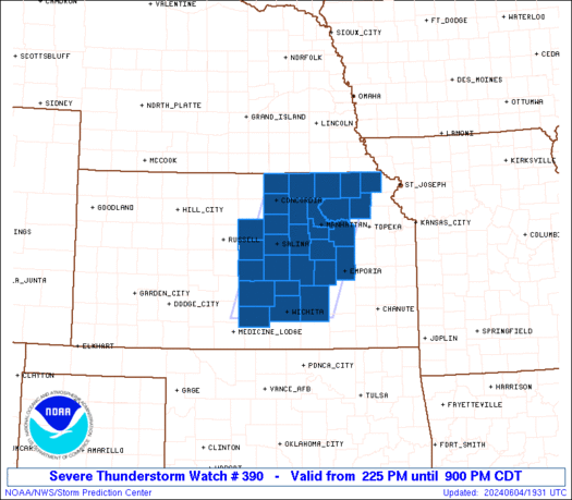
| Aviation Watch (SAW) for WW390 |
|---|
 |
| Note:
The Aviation Watch (SAW) product is an approximation to the watch area.
The actual watch is depicted by the shaded areas. |
   SAW0
   WW 390 SEVERE TSTM KS 041925Z - 050200Z
   AXIS..60 STATUTE MILES EAST AND WEST OF LINE..
   60N MHK/MANHATTAN KS/ - 10SW ICT/WICHITA KS/
   ..AVIATION COORDS.. 50NM E/W /24WSW PWE - 12S ICT/
   HAIL SURFACE AND ALOFT..2 INCHES. WIND GUSTS..60 KNOTS.
   MAX TOPS TO 500. MEAN STORM MOTION VECTOR 25025.

   LAT...LON 39999554 37549646 37549865 39999780

   THIS IS AN APPROXIMATION TO THE WATCH AREA.  FOR A
   COMPLETE DEPICTION OF THE WATCH SEE WOUS64 KWNS
   FOR WOU0.
|
|


 @NWSSPC