Current time (in UTC/GMT/Zulu):
JavaScript Must Be Enabled.

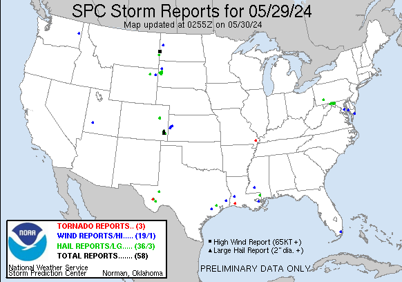
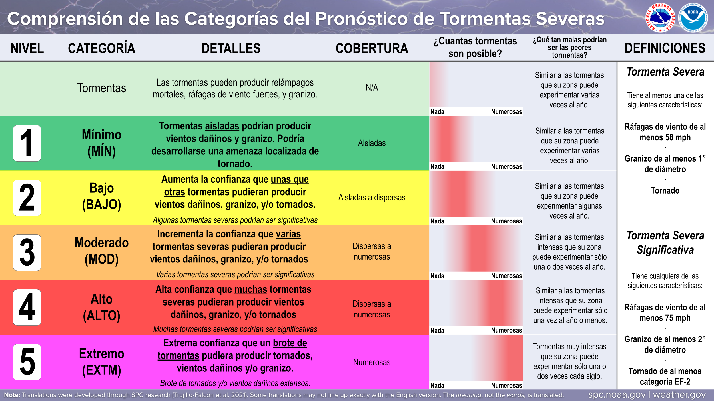
A Slight Risk of Severe Thunderstorms is Forecast Today and/or Tonight
Scattered severe thunderstorms are possible across portions of the northern Plains vicinity, mainly this afternoon and evening.
 For additional details, see the latest Day 1 Convective Outlook.

|
All Products
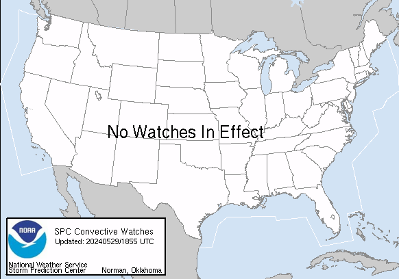
Watches
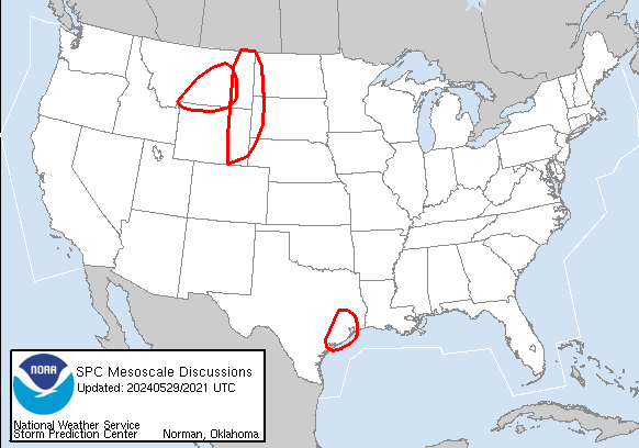
MDs
Outlooks
Fire
|
|
|
||||||||||||
|
|
|
||||||||||||
|
Latest SPC Publications
|
Latest SPC Case Archive
|
|||||||||||||


|
|
NOAA /
National Weather Service National Centers for Environmental Prediction Storm Prediction Center 120 David L. Boren Blvd. Norman, OK 73072 U.S.A. spc.feedback@noaa.gov Page last modified: July 27 2024 06:07 UTC |
Disclaimer Information Quality Help Glossary |
Privacy Policy Freedom of Information Act (FOIA) About Us Career Opportunities |
