SPC AC 130727
Day 3 Convective Outlook
NWS Storm Prediction Center Norman OK
0227 AM CDT Sun Apr 13 2025
Valid 151200Z - 161200Z
...NO SEVERE THUNDERSTORM AREAS FORECAST...
...SUMMARY...
Severe thunderstorms are not forecast on Tuesday.
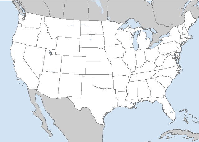
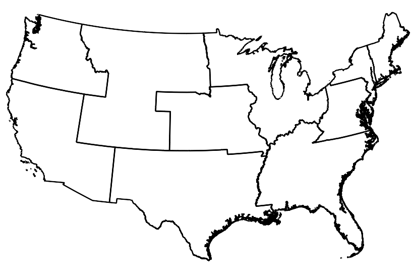
...Eastern NC...
Timing of surface cold front passage Tuesday late morning to
afternoon remains crucial as to whether thunderstorms can form and
intensify over land, before becoming entirely confined off the
coast. Guidance, except for the UKMET, has generally been trending
towards a slightly faster frontal passage over the past couple days.
This suggests the window of opportunity for sustained severe
development should be rather limited. Conditionally, strong wind
profiles support potential for an organized storm or two around
early afternoon. For now, have opted to defer on possible level
1-MRGL risk.
...Southwest...
Isolated thunderstorms will be possible downstream of a
low-amplitude shortwave impulse moving northeast from the Lower CO
Valley, and a separate trough off the CA coast. Meager buoyancy and
weak deep-layer shear will minimize severe potential.
..Grams.. 04/13/2025
CLICK TO GET WUUS03 PTSDY3 PRODUCT
NOTE: THE NEXT DAY 3 OUTLOOK IS SCHEDULED BY 1930Z


 @NWSSPC