SPC AC 131239
Day 1 Convective Outlook
NWS Storm Prediction Center Norman OK
0739 AM CDT Sun Apr 13 2025
Valid 131300Z - 141200Z
...NO SEVERE THUNDERSTORM AREAS FORECAST...
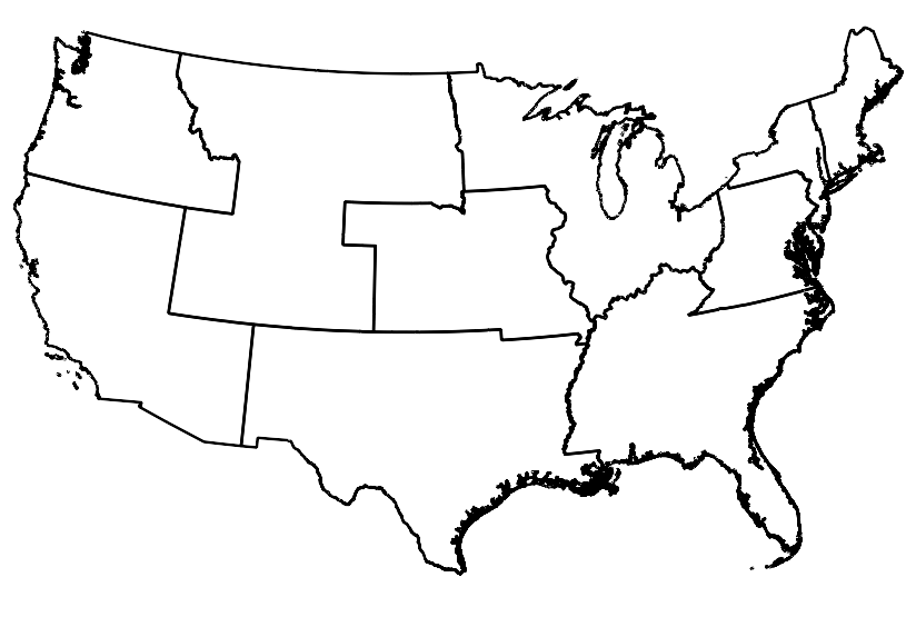
...SUMMARY...
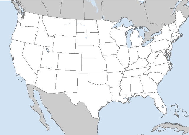
Thunderstorm development will be possible from the Upper Mississippi
Valley into the Great Lakes, and from the central Rockies to the
lower Missouri Valley. Severe storms are not expected.
...Synopsis...
A midlevel shortwave trough will move eastward from the northern
High Plains to the Upper MS Valley by early Monday, as a remnant lee
cyclone develops northeastward from eastern NE to Lake Superior.
Limited low-level moisture return is underway within the warm sector
of the cyclone, though sufficient ascent/saturation is not occurring
until near the IA/MN border where elevated thunderstorms may develop
later this morning. This elevated convection will then spread
eastward over WI through the day and Lower MI by late evening.
Otherwise, isolated thunderstorms will be possible this afternoon
into early tonight along a southward-moving cold front across CO,
and overnight into MO where moistening and weak ascent atop the
frontal surface (near 700 mb) could support elevated convection
09-12z.
..Thompson/Dean.. 04/13/2025
CLICK TO GET WUUS01 PTSDY1 PRODUCT
NOTE: THE NEXT DAY 1 OUTLOOK IS SCHEDULED BY 1630Z


 @NWSSPC