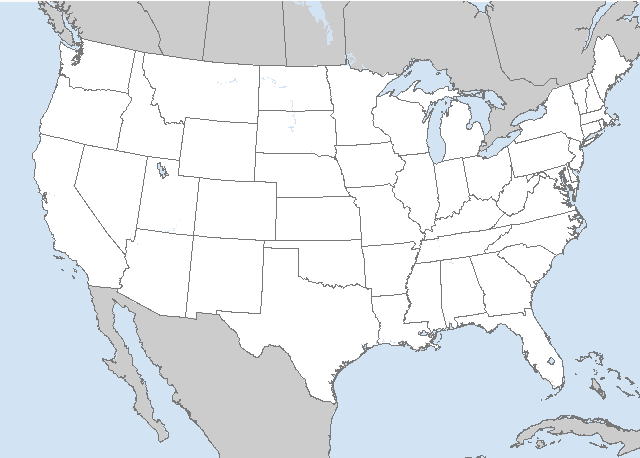
   SPC AC 140048

   Day 1 Convective Outlook
   NWS Storm Prediction Center Norman OK
   0748 PM CDT Sun Apr 13 2025

   Valid 140100Z - 141200Z

   ...NO SEVERE THUNDERSTORM AREAS FORECAST...

   ...SUMMARY...
   Isolated thunderstorms will be possible this evening into the
   overnight across parts of the northwestern Great Lakes. Isolated
   storms may also develop this evening in parts of the northern Plains
   and central High Plains.

   ...DISCUSSION...
   The latest water vapor imagery shows a trough from the northern
   Plains extending southward into the central High Plains, with a
   plume of mid-level moisture extending from the central Rockies into
   the mid to upper Mississippi Valley and Great Lakes. Isolated
   thunderstorm development will be possible this evening near the
   trough, mainly in northeastern Colorado near the right entrance
   region of a mid-level jet. Additional storms may form just ahead of
   the trough from eastern South Dakota into western Minnesota where a
   pocket of steep mid-level lapse rates is present according to
   mesoanalysis data. Isolated to scattered thunderstorms will be
   possible this evening into tonight further ahead of the trough near
   the axis of a low-level jet in parts of the northwestern Great
   Lakes. No severe threat is expected.

   ..Broyles.. 04/14/2025

   CLICK TO GET WUUS01 PTSDY1 PRODUCT

   NOTE: THE NEXT DAY 1 OUTLOOK IS SCHEDULED BY 0600Z


 @NWSSPC