Current time (in UTC/GMT/Zulu):
JavaScript Must Be Enabled.

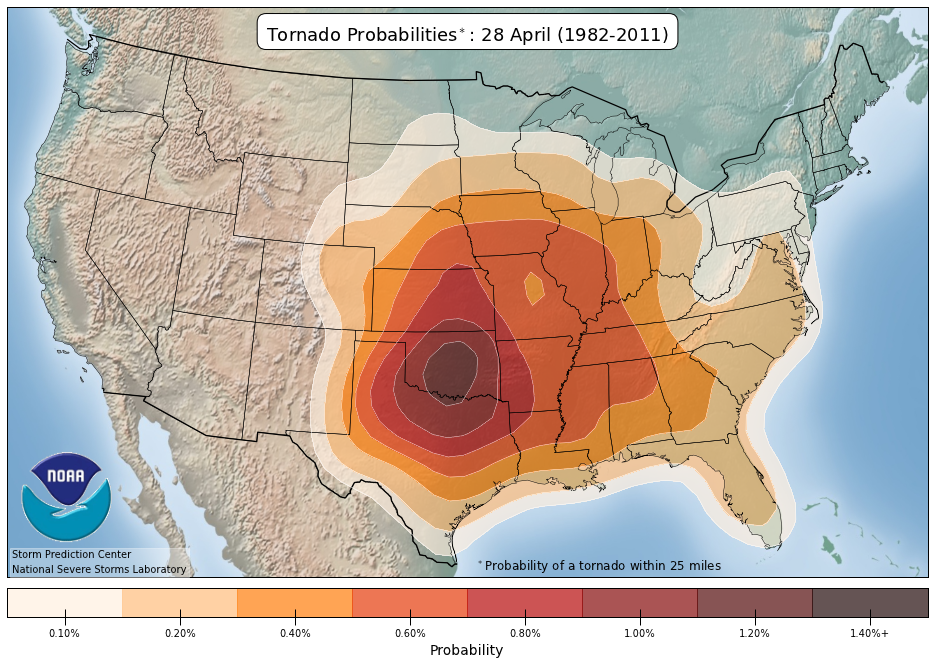
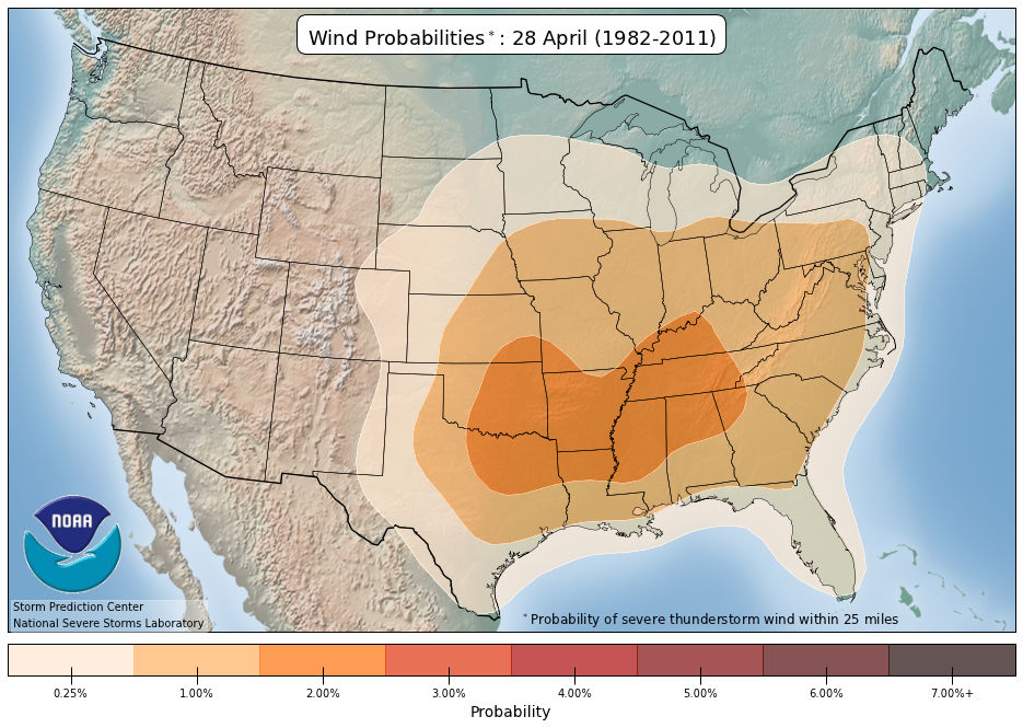
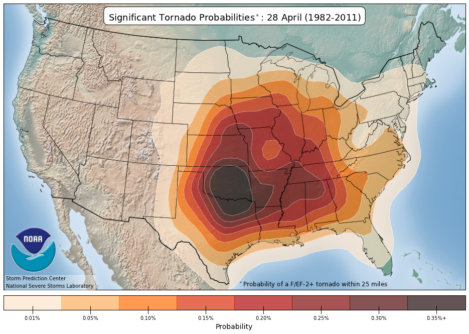
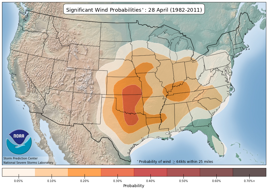
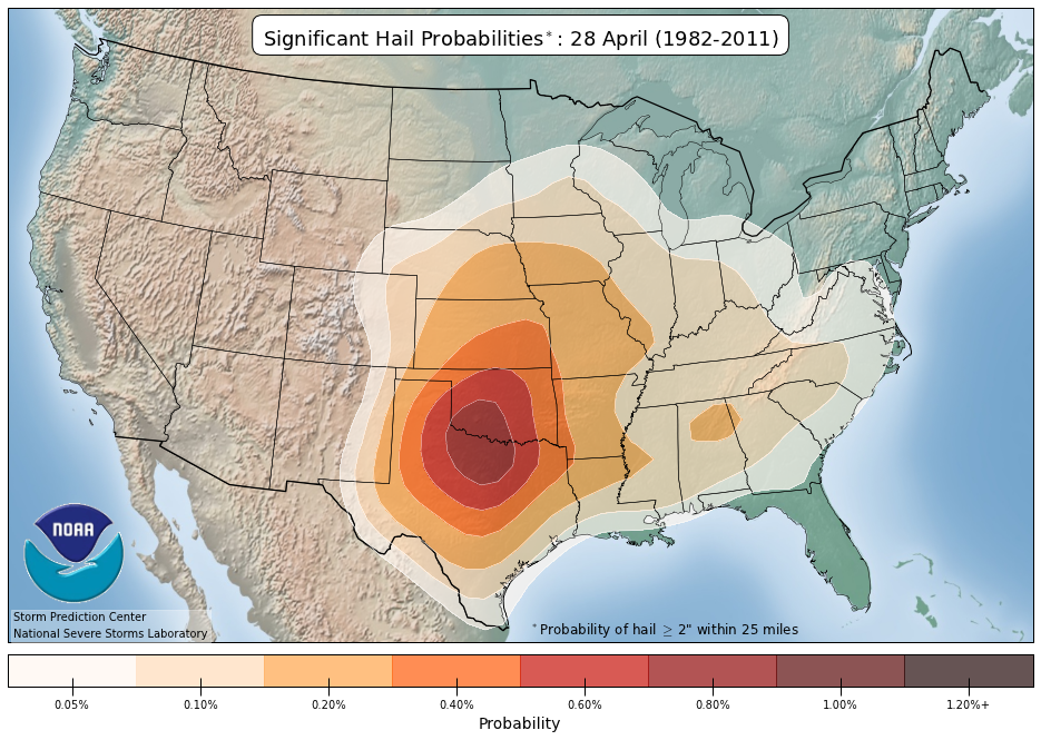
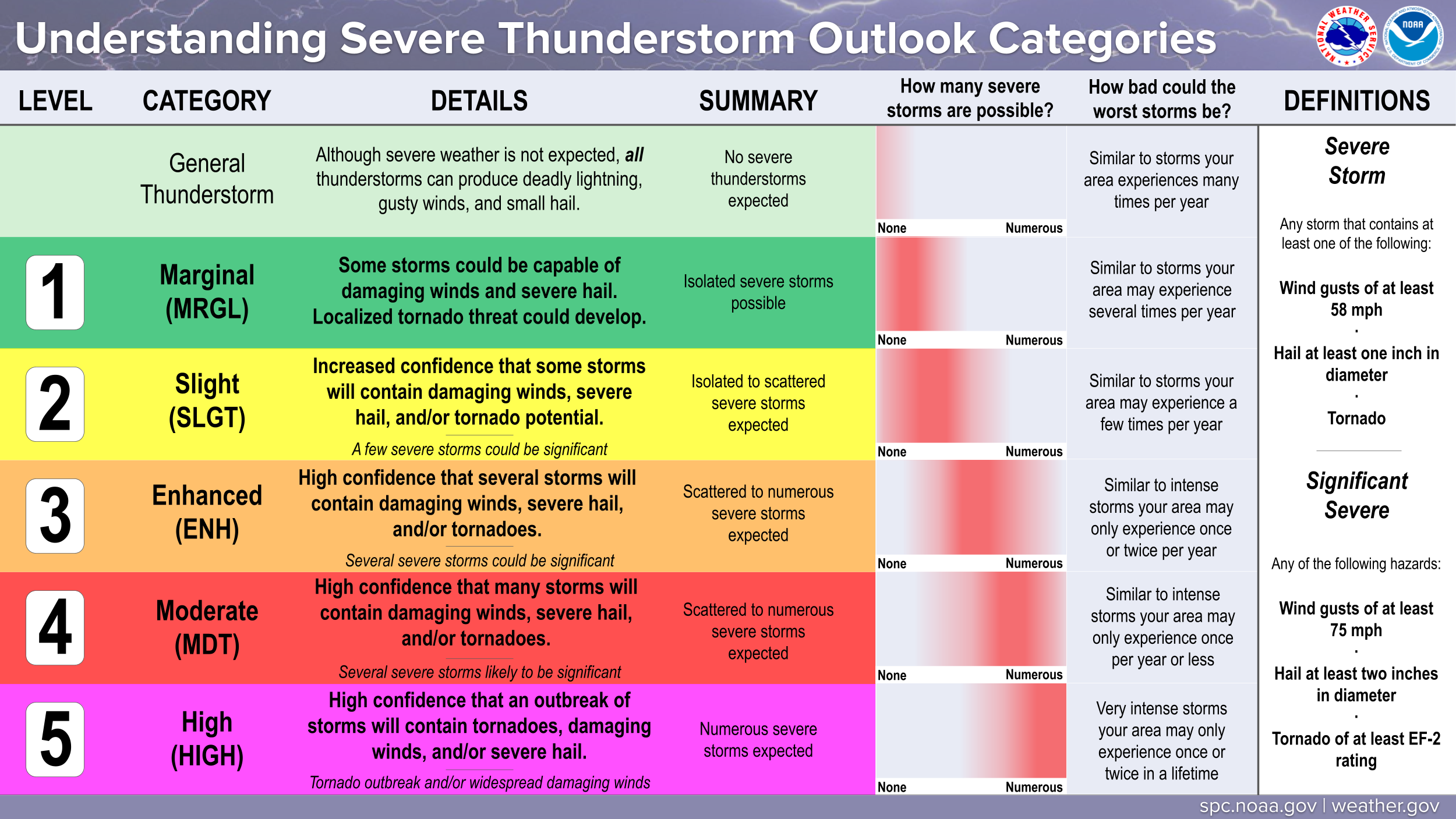
A Moderate Risk of Severe Thunderstorms is forecast for Mon (04/28)
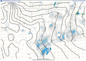
Multiple corridors of severe thunderstorms are expected across the Upper Midwest on Monday into Monday night, with a regional severe weather outbreak possible. The most dangerous period is likely during the late afternoon and evening when strong tornado potential should be maximized. Scattered large to very large hail and damaging winds are likely as well.
 For additional details, see the latest Day 2 Convective Outlook. Extremely critical fire weather conditions are forecast today. See details...
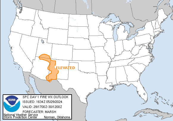
Critical fire weather conditions are forecast on Mon (04/28). See details...
For additional details, see the latest Day 2 Convective Outlook. Extremely critical fire weather conditions are forecast today. See details...
Critical fire weather conditions are forecast on Mon (04/28). See details...

|
All Products
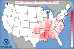
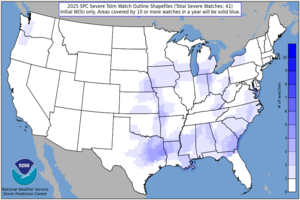
Watches
MDs
Outlooks
Fire
|
|
|
||||||||||||
|
|
|
||||||||||||
|
Latest SPC Publications
|
Latest SPC Case Archive
|
|||||||||||||


|
|
NOAA /
National Weather Service National Centers for Environmental Prediction Storm Prediction Center 120 David L. Boren Blvd. Norman, OK 73072 U.S.A. spc.feedback@noaa.gov Page last modified: April 27 2025 19:47 UTC |
Disclaimer Information Quality Help Glossary |
Privacy Policy Freedom of Information Act (FOIA) About Us Career Opportunities |
